Agriculture

Increase productivity and efficiency of acres of farmland with drone solutions

Solutions

Crop Production

  • Map farm topography for better land use and irrigation planning.
  • Optimize agri inputs usage for higher efficiency.
  • Analyze crop health through multispectral mapping.

Crop Insurance

  • Collect digital farm records to bring transparency in insurance claims settlement process.
  • Record and analyze crop damages.
  • Digitize farm boundaries, integrate with cadastral maps and other relevant data.

Agri Research & Trials

  • Digitize and record large scale plot trials using drone data.
  • Perform plant stand counts and measure plant uniformity & height.
  • Build customized solutions like missing tassel detection on drone data.

Our Expertise

25000+ farms digitized and analyzed using drones in 10+ states across India.

Ability to capture data with ground sampling resolution up to 2mm/pixel.

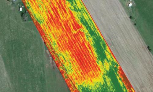
Precision AI/ML models for plant population count, vegetation uniformity analysis, and tassel detection.

How We Deliver

Data Collection

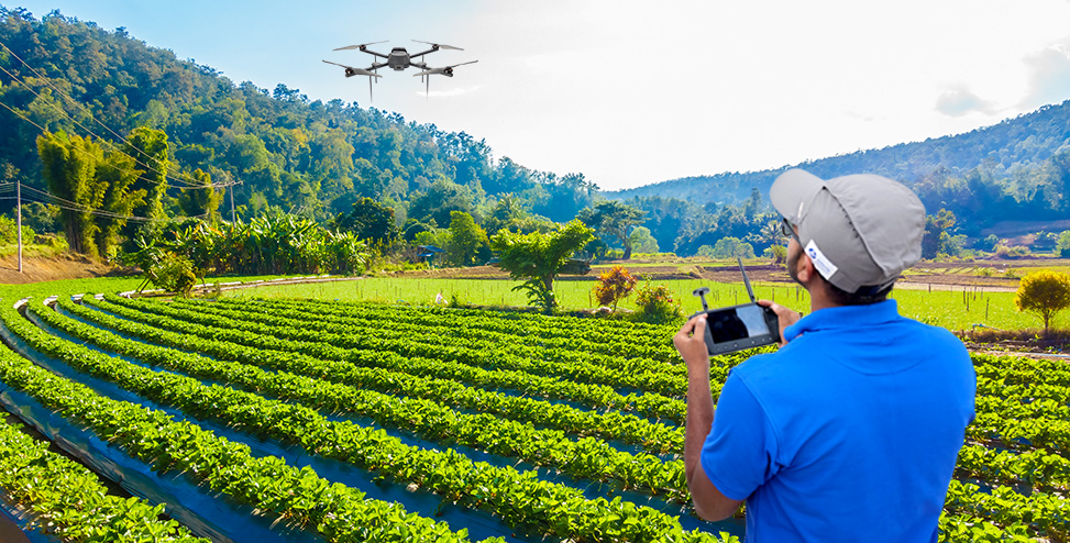
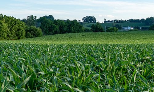
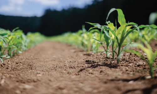
Our compact DGCA certified A200 micro drone makes it possible to map agricultural plots and farms quickly and efficiently. With its integrated RGB and multispectral cameras, the A200 can capture high-precision imagery for an acre of farmland in under 10 minutes.


Data Processing & Analysis

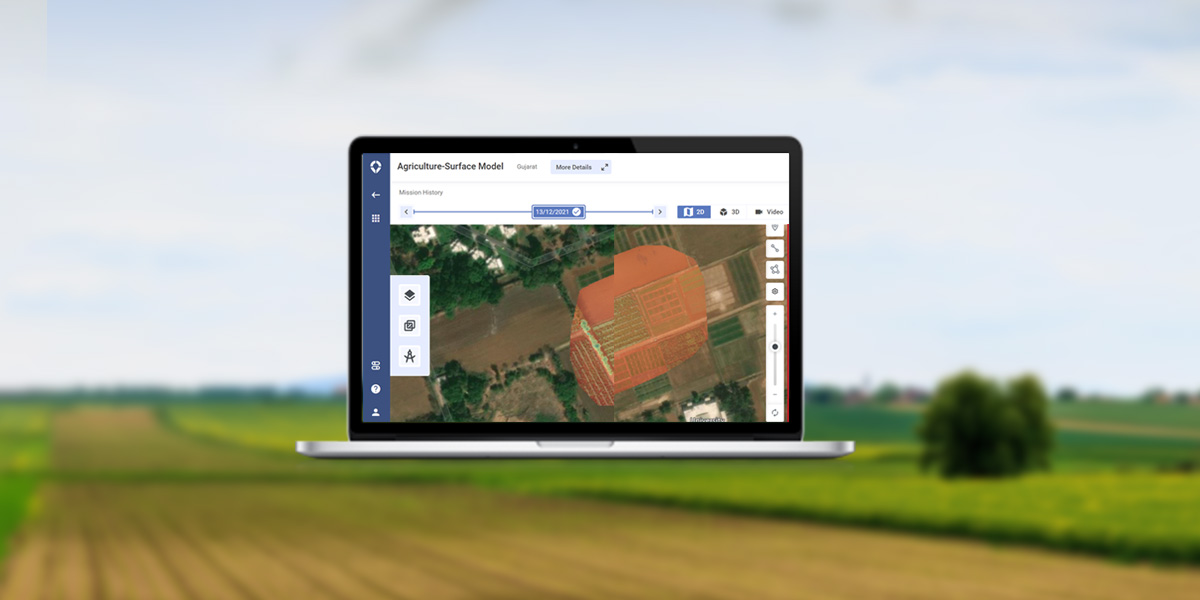
Process raw data on Asteria’s cloud-based drone data platform, SkyDeck and ensure fast turnaround times and accurate results.

  • Leverage the power of machine learning to understand population count, crop stress, and plant height, and make informed decisions that improve your crop yield.
  • Easily store and access historical data of multiple farms on a single platform for records.


Data Delivery

Share and download high-precision maps of your fields and research plots from SkyDeck. Collaborate on the data through any simple browser, analyze problem areas, annotate and callout issues. Generate and access reports of meaningful insights about the health and yield potential of your farm.

Benefits

icon-img

<10 minutes
to digitize an acre of farmland
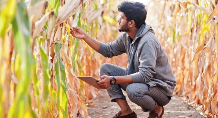
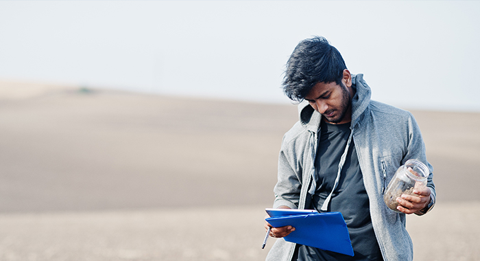
icon-img

Digital phenotyping
of crop parameters

icon-img

>20%
reduction in agri inputs

icon-img

Up to 90%
less time on data collection

Drone-as-a-Service (DaaS)


Enhance operational efficiency without investing in hardware, software, and analytics using Drone-as-a-Service solution.


Know more

Connect with us

Require details for*