Construction & Infrastructure

Enhance safety, map progress
and reduce time & cost of inspection

Solutions

Roads & Highways

  • Plan road construction effectively using drone surveys for topographic analysis to identify elevation changes and drainage points.
  • Monitor progress and document highway construction using high-resolution digital aerial maps and video.
  • Survey & inspect bridges located in complex terrain to plan maintenance activities faster.
  • Analyze traffic using drone-based aerial video and AI algorithms.

Railways

  • Plan, monitor, and document railway route construction using high-resolution digital aerial maps and video.
  • Frequently inspect the condition of rail tracks to identify anomalies and defects.
  • Inspect hard-to-reach railway bridges quickly and easily and plan preventive maintenance.
  • Periodically survey railway routes to detect encroachment by animals.

Ports

  • Monitor sea traffic across multiple locations to manage moving cargos and seaports effectively. 
  • Perform day and night surveillance to ensure safety and security of seaports.
  • Inspect port assets & operations effectively.
  • Prepare emergency response with precise actionable intelligence from drone-based aerial video and AI algorithms.


Construction Projects

  • Effectively survey acres of land with drones in minutes for construction planning.
  • Accurately estimate cut-fill volumes for project bids using high-resolution drone maps.
  • Monitor construction progress using periodic aerial maps and 360-degree videos of sites.
  • Perform on-site inventory audit of materials and equipment in a transparent manner using drone data.

Our Expertise

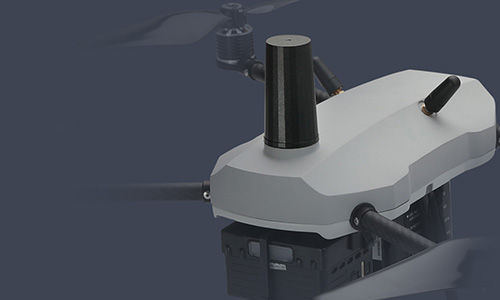
Survey-grade accuracy using PPK GPS enabled drones.

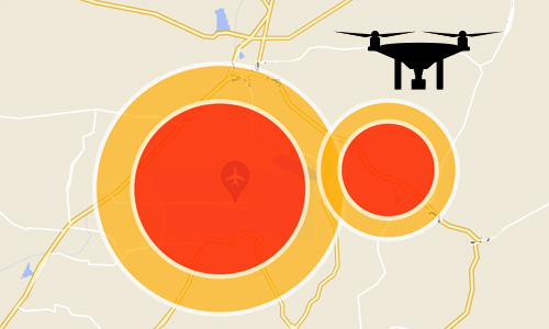
In-house compliance team to apply and obtain permissions for drone flights in yellow/red restricted airspace zones.

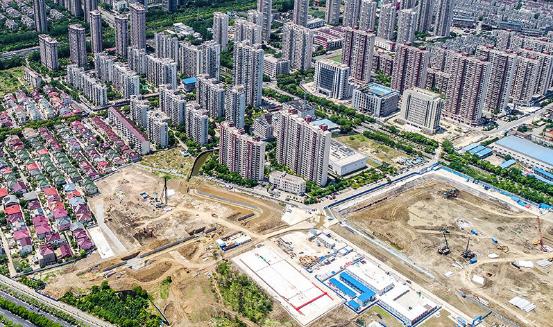
10,000+ sq. km of land surveyed and digitized using drones.

How We Deliver

Data Collection

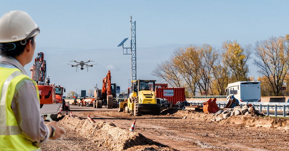
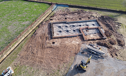
Survey and inspect construction sites and critical infrastructure faster and more efficiently using Asteria’s multirotor and fixed-wing VTOL drone platforms. Asteria’s drones are equipped with survey-grade GPS and high-resolution cameras with advanced flight planner software featuring terrain following, geofencing, and post processing tools.

Data Processing & Analysis 

Process high-resolution drone GIS data and generate meaningful insights through SkyDeck, Asteria’s cloud-based platform:

  • Visualize and analyze sites through as-built vs as-designed 2D and 3D models, orthomosaics, and digital terrain and surface models.
  • Record, analyze, annotate, and share drone video and imagery data on a single platform.
  • Access historical data of all site surveys for comparison and change analysis.

Know more


Data Delivery

SkyDeck, our end-to-end drone to data cloud platform delivers accurate drone survey data and reports that can be used to collaborate with multiple stakeholders easily and make informed decisions.

Benefits

icon-img

5-10x
faster surveys  

icon-img

90% 
less time on site 

icon-img

60% 
increase in collaboration

Drone-as-a-Service (DaaS)


Enhance operational efficiency without investing in hardware, software, and analytics using Drone-as-a-Service solution.


Know more

Customers Speak

"The quality of Asteria’s work meets our expectations, and the attention to detail was remarkable. What truly sets them apart is their dedication to customer satisfaction. They listened to our specific needs, communicated effectively throughout the project, and went above and beyond to ensure that we were completely satisfied with the final deliverables. I highly recommend their drone survey services to anyone in the real estate industry looking for top-notch professionalism, expertise, and results. "

Kripadyuti Sarkar, Group CIO
Ambuja Neotia

"Asteria Aerospace is doing an excellent job in manufacturing quality drones in compliance with DGCA guidelines. The products offered by them are type certified. Further, the team is highly technical and customer oriented. Best of luck for their future."

Sh. Akshay Kaushal
Dedicated Freight Corridor Corporation of India Limited

Connect with us

Require details for*